

one
GIS & Mapping
one
GIS & Mapping
GIS and Mapping Services
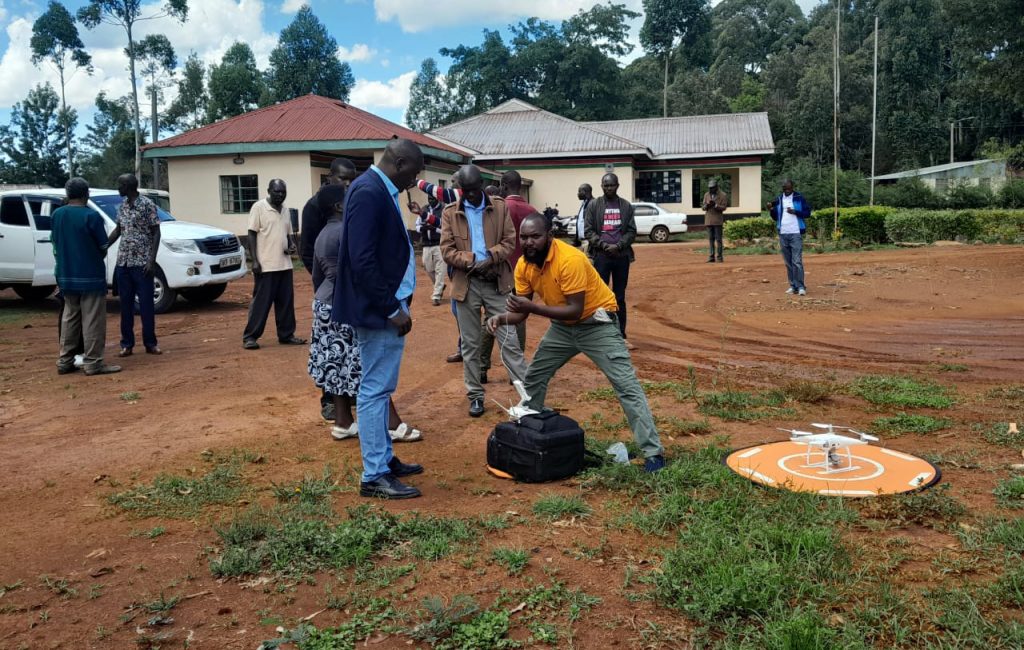
In collaboration with our associates, we offer an array of Geospatial products, services and solutions. It involves the use of software and tools like- ArcGIS, Mobile Application Apps Web GIS Platforms- to create, manage, analyze, and display geographic data. These GIS and Mapping Services are widely used across various industries such as urban planning, environmental management, logistics, agriculture, utilities and infrastructure, and more. It improves decision Making, increase efficiency and enhance communication.
- Aerial Drone Mapping
- Topographical Mapping,
- Land use Planning
- Infrastructure Development
- Geo-information software products supply and Training Services,
- Geospatial Database Development and Maintenance,
- Map Design and Production Services,
- Mobile & Web Mapping Applications Development
Our Clients and Partners

